
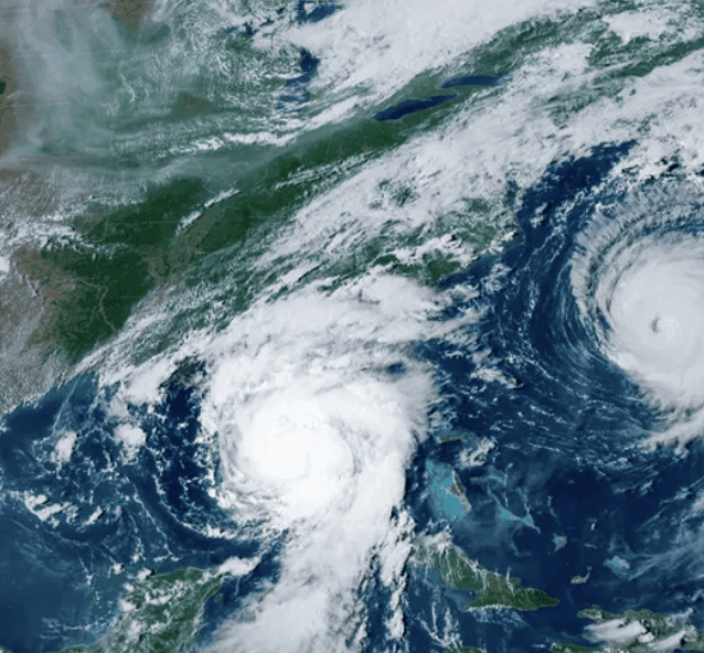
Current sea surface temperature anomalies in the Niño 3.4 region have already climbed above +2.8°C, with NOAA’s Climate Prediction Center reporting a greater than 90% chance of a very strong El Niño (peak ≥ +2.0°C) during fall and winter 2026–27 and a 75% likelihood of a historic event exceeding all prior episodes since 1950. Model consensus from the IRI, JMA, and GFDL SPEAR systems aligns on further intensification through an October–December or November–January peak, supported by subsurface heat content and atmospheric coupling. Weekly and monthly Niño index updates plus the next CPC outlook will provide the primary near-term catalysts for any reassessment, though rapid weakening before the seasonal maximum remains the main scenario that could prevent confirmation of super El Niño status.
Ringkasan eksperimental yang dihasilkan AI dengan referensi data Polymarket. Ini bukan saran trading dan tidak berperan dalam bagaimana pasar ini diselesaikan. · DiperbaruiWill there be a Super El Niño this winter (2026–27)?
Will there be a Super El Niño this winter (2026–27)?
A Super El Niño is an El Niño event in which RONI reaches this threshold for at least one overlapping ENSO season. An ENSO season is one of NOAA's standard overlapping 3-month periods (e.g., ASO, SON, OND, NDJ, DJF).
This market may resolve "Yes" immediately upon NOAA's first publication of a qualifying RONI value for any listed season. If no season has qualified, this market will not resolve "No" until NOAA publishes the DJF 2026-27 value since DJF captures El Niño's typical peak-strength window and an earlier "No" could contradict the final published data.
The first published RONI value for each listed season is final and governs this market's resolution; no subsequent revision to any season's value will be considered or will change the outcome once that season's first value has been published.
Pasar Dibuka: Jul 24, 2026, 12:34 PM ET
Resolver
0x65070BE91...A Super El Niño is an El Niño event in which RONI reaches this threshold for at least one overlapping ENSO season. An ENSO season is one of NOAA's standard overlapping 3-month periods (e.g., ASO, SON, OND, NDJ, DJF).
This market may resolve "Yes" immediately upon NOAA's first publication of a qualifying RONI value for any listed season. If no season has qualified, this market will not resolve "No" until NOAA publishes the DJF 2026-27 value since DJF captures El Niño's typical peak-strength window and an earlier "No" could contradict the final published data.
The first published RONI value for each listed season is final and governs this market's resolution; no subsequent revision to any season's value will be considered or will change the outcome once that season's first value has been published.
Resolver
0x65070BE91...Current sea surface temperature anomalies in the Niño 3.4 region have already climbed above +2.8°C, with NOAA’s Climate Prediction Center reporting a greater than 90% chance of a very strong El Niño (peak ≥ +2.0°C) during fall and winter 2026–27 and a 75% likelihood of a historic event exceeding all prior episodes since 1950. Model consensus from the IRI, JMA, and GFDL SPEAR systems aligns on further intensification through an October–December or November–January peak, supported by subsurface heat content and atmospheric coupling. Weekly and monthly Niño index updates plus the next CPC outlook will provide the primary near-term catalysts for any reassessment, though rapid weakening before the seasonal maximum remains the main scenario that could prevent confirmation of super El Niño status.
Ringkasan eksperimental yang dihasilkan AI dengan referensi data Polymarket. Ini bukan saran trading dan tidak berperan dalam bagaimana pasar ini diselesaikan. · Diperbarui
Hati-hati dengan link eksternal.
Hati-hati dengan link eksternal.
Pertanyaan yang Sering Diajukan