
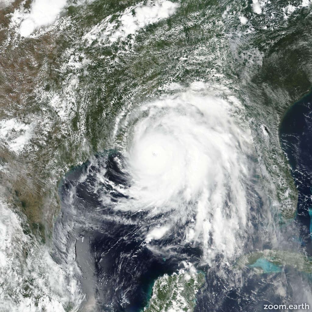
A strong El Niño has suppressed 2026 Atlantic activity through elevated vertical wind shear, drier mid-level air, and altered steering patterns, resulting in zero hurricanes through late September—the latest such drought in the satellite era. Official NHC and NOAA monitoring shows only weak tropical storms with low accumulated cyclone energy, well below seasonal norms. Category 5 landfalls remain rare even in active years, and current conditions make rapid intensification to sustained 157 mph winds before U.S. landfall highly improbable. Trader consensus at 96.8% for “No” reflects this data, though an unusually favorable late-October or November window could still allow an outlier storm to form, strengthen, and reach the Gulf or Southeast coast.
Experimental AI-generated summary referencing Polymarket data. This is not trading advice and plays no role in how this market resolves. · UpdatedView resolved
Beware of external links.
Beware of external links.
Frequently Asked Questions