
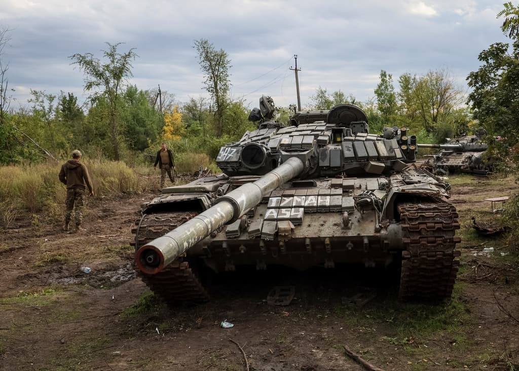
Russian forces achieved substantial control over Chasiv Yar in Donetsk Oblast by late July 2026 after more than two years of intense fighting, with Ukrainian units withdrawing from remaining southwestern positions amid supply-line disruptions tied to developments around Kostiantynivka. Open-source mapping and reports indicate Russian consolidation across eastern districts, canal crossings, and much of the urban area, though incremental gains continued on southern outskirts into August. The town's elevated terrain and position have long positioned it as a gateway toward Kramatorsk and Sloviansk, prompting sustained Russian pressure through infiltration tactics and glide-bomb strikes while Ukrainian forces adapt defenses to limit mechanized advances. Trader assessments of full capture by a given date hinge on verified maps showing complete territorial control, with any residual Ukrainian presence or counter-moves in the broader Donbas sector serving as key variables.
Eksperimental na AI-generated summary na nire-reference ang Polymarket data. Hindi ito trading advice at wala itong papel sa kung paano nire-resolve ang market na ito. · Na-updateWill Russia capture all of Chasiv Yar by...?
Will Russia capture all of Chasiv Yar by...?
$106,699 Vol.
September 30
12%
December 31
61%
$106,699 Vol.
September 30
12%
December 31
61%
Chasiv Yar will be considered captured if the entirety of the municipality is shaded red on the ISW map (https://storymaps.arcgis.com/stories/36a7f6a6f5a9448496de641cf64bd375) by the resolution date. If the area is not shaded red by the resolution date, the market will resolve to “No”.
For any change on the ISW map to qualify for this market’s resolution, the relevant shading indicating Russian control must persist through the next full ISW daily update cycle. If ISW skips a day, shading must persist until the next finalized ISW update is published, regardless of the date. Any continuous shading which reflects either “Assessed Russian Control”, “Assessed Russian Advance In Ukraine”, or “Assessed Russian Gains in the Past 24 Hours” will qualify. “Assessed Russian Infiltration Areas in Ukraine” will not qualify.
The territory of the municipality is shaded in light grey and is distinguished from bordering municipalities with a darker grey line. If all area within the municipality is shaded in red, however, the shading does not precisely match up with the border such that there is a tiny amount of grey along the border of the city, this will still qualify for a "Yes" resolution.
Once Russia captures the entirety of Chasiv Yar, any subsequent loss of control will not be considered towards the resolution of this market.
Location on Google maps: https://maps.app.goo.gl/XPJfnzoeRtB7UEmDA
The primary resolution source for this market will be the ISW Ukraine map. If the ISW map is rendered unavailable, information from DeepStateMap (https://deepstatemap.live/) may be used. If information from both the ISW and DeepStateMap are rendered permanently unavailable, a consensus of credible reporting may be used.
Note: Any temporary glitches or errors in the map will not be considered.
If Russia comes into control of this territory as a result of a negotiated settlement, this will qualify for a 'Yes' resolution, regardless of if it is shaded red in the ISW map. An announcement of a negotiated settlement that gives Russia de jure control will not qualify. Actual control must be established.
Binuksan ang Market: May 21, 2026, 1:38 PM ET
Resolver
0x65070BE91...Chasiv Yar will be considered captured if the entirety of the municipality is shaded red on the ISW map (https://storymaps.arcgis.com/stories/36a7f6a6f5a9448496de641cf64bd375) by the resolution date. If the area is not shaded red by the resolution date, the market will resolve to “No”.
For any change on the ISW map to qualify for this market’s resolution, the relevant shading indicating Russian control must persist through the next full ISW daily update cycle. If ISW skips a day, shading must persist until the next finalized ISW update is published, regardless of the date. Any continuous shading which reflects either “Assessed Russian Control”, “Assessed Russian Advance In Ukraine”, or “Assessed Russian Gains in the Past 24 Hours” will qualify. “Assessed Russian Infiltration Areas in Ukraine” will not qualify.
The territory of the municipality is shaded in light grey and is distinguished from bordering municipalities with a darker grey line. If all area within the municipality is shaded in red, however, the shading does not precisely match up with the border such that there is a tiny amount of grey along the border of the city, this will still qualify for a "Yes" resolution.
Once Russia captures the entirety of Chasiv Yar, any subsequent loss of control will not be considered towards the resolution of this market.
Location on Google maps: https://maps.app.goo.gl/XPJfnzoeRtB7UEmDA
The primary resolution source for this market will be the ISW Ukraine map. If the ISW map is rendered unavailable, information from DeepStateMap (https://deepstatemap.live/) may be used. If information from both the ISW and DeepStateMap are rendered permanently unavailable, a consensus of credible reporting may be used.
Note: Any temporary glitches or errors in the map will not be considered.
If Russia comes into control of this territory as a result of a negotiated settlement, this will qualify for a 'Yes' resolution, regardless of if it is shaded red in the ISW map. An announcement of a negotiated settlement that gives Russia de jure control will not qualify. Actual control must be established.
Resolver
0x65070BE91...Russian forces achieved substantial control over Chasiv Yar in Donetsk Oblast by late July 2026 after more than two years of intense fighting, with Ukrainian units withdrawing from remaining southwestern positions amid supply-line disruptions tied to developments around Kostiantynivka. Open-source mapping and reports indicate Russian consolidation across eastern districts, canal crossings, and much of the urban area, though incremental gains continued on southern outskirts into August. The town's elevated terrain and position have long positioned it as a gateway toward Kramatorsk and Sloviansk, prompting sustained Russian pressure through infiltration tactics and glide-bomb strikes while Ukrainian forces adapt defenses to limit mechanized advances. Trader assessments of full capture by a given date hinge on verified maps showing complete territorial control, with any residual Ukrainian presence or counter-moves in the broader Donbas sector serving as key variables.
Eksperimental na AI-generated summary na nire-reference ang Polymarket data. Hindi ito trading advice at wala itong papel sa kung paano nire-resolve ang market na ito. · Na-update

Mag-ingat sa mga external link.
Mag-ingat sa mga external link.
Mga Madalas na Tanong