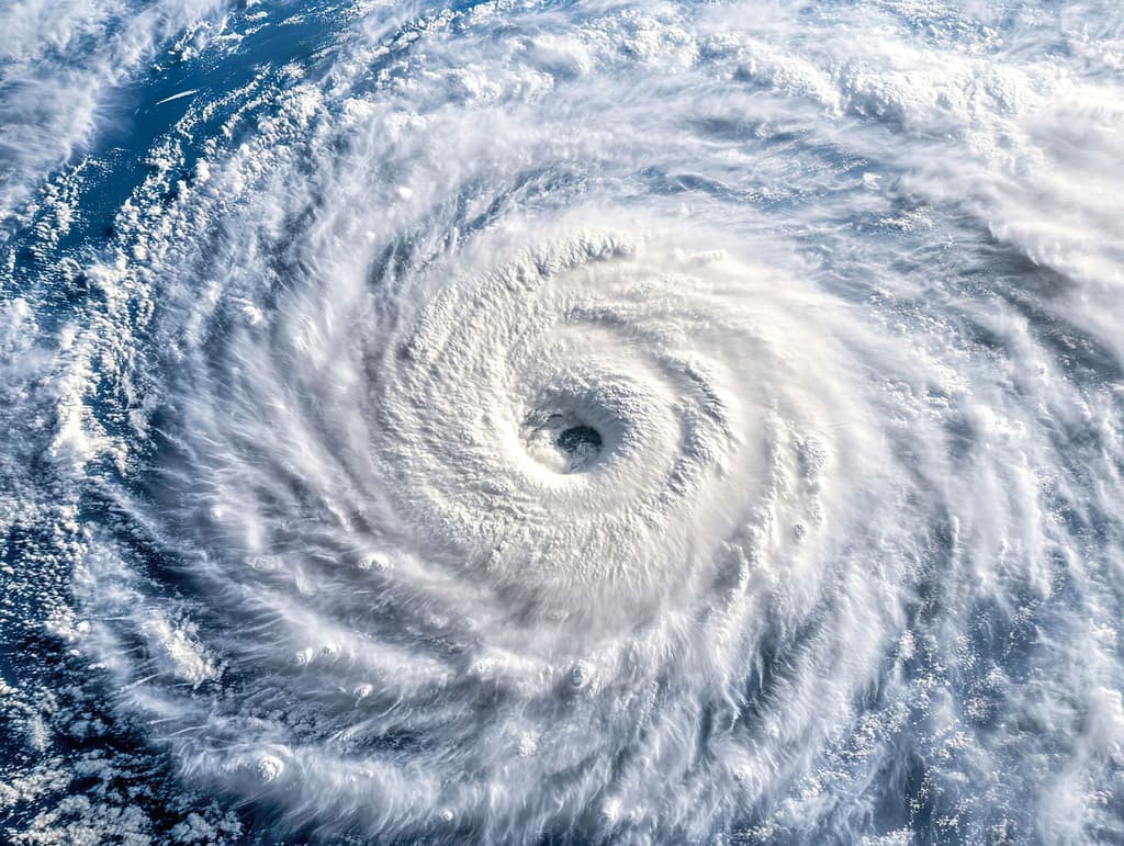
Current NHC monitoring highlights a tropical wave roughly 1,400 miles east-southeast of Hawaii in the Central Pacific producing disorganized showers and thunderstorms under conditions favorable for organization, supporting a non-zero near-term genesis chance within the six-day window to August 14. Seasonal climatology reinforces this outlook, with Pacific formation rates historically rising sharply after early August as sea-surface temperatures peak and wind shear patterns shift. NOAA’s updated seasonal forecasts assign a 70% probability of above-normal activity across both the Eastern and Central Pacific basins, citing developing El Niño conditions that favor enhanced cyclogenesis relative to the 1991–2020 baseline. While no systems are active as of August 8 and model consensus remains modest, traders appear to weigh the wave’s potential plus the narrow but active timeframe more heavily than the quiet immediate environment.
Tóm tắt AI thử nghiệm tham chiếu dữ liệu Polymarket. Đây không phải tư vấn giao dịch và không ảnh hưởng đến cách thị trường này được giải quyết. · Cập nhậtWill a tropical cyclone form in either the Pacific or Central Pacific basins by August 14?
Will a tropical cyclone form in either the Pacific or Central Pacific basins by August 14?
For the purposes of this market, the "Pacific" and "Central Pacific" basins are the areas covered by the NHC's "Pacific" and "Central Pacific" Tropical Weather Outlooks at https://www.nhc.noaa.gov/. As of the launch of this market, the NHC reports no active tropical cyclones in either basin.
The resolution source for this market will be the U.S. National Hurricane Center (https://www.nhc.noaa.gov/), including its tropical cyclone advisories, public advisories, and Tropical Weather Outlooks for the Pacific and Central Pacific basins.
If there is a potential tropical cyclone that has not yet been classified by August 14, 2026, 11:59 PM ET, the market may remain open until August 15, 12:00 PM ET to determine whether a classification was made prior to midnight.
Thị trường mở: Aug 7, 2026, 10:59 AM ET
Nguồn giải quyết
https://www.nhc.noaa.gov/Resolver
0x65070BE91...For the purposes of this market, the "Pacific" and "Central Pacific" basins are the areas covered by the NHC's "Pacific" and "Central Pacific" Tropical Weather Outlooks at https://www.nhc.noaa.gov/. As of the launch of this market, the NHC reports no active tropical cyclones in either basin.
The resolution source for this market will be the U.S. National Hurricane Center (https://www.nhc.noaa.gov/), including its tropical cyclone advisories, public advisories, and Tropical Weather Outlooks for the Pacific and Central Pacific basins.
If there is a potential tropical cyclone that has not yet been classified by August 14, 2026, 11:59 PM ET, the market may remain open until August 15, 12:00 PM ET to determine whether a classification was made prior to midnight.
Nguồn giải quyết
https://www.nhc.noaa.gov/Resolver
0x65070BE91...Current NHC monitoring highlights a tropical wave roughly 1,400 miles east-southeast of Hawaii in the Central Pacific producing disorganized showers and thunderstorms under conditions favorable for organization, supporting a non-zero near-term genesis chance within the six-day window to August 14. Seasonal climatology reinforces this outlook, with Pacific formation rates historically rising sharply after early August as sea-surface temperatures peak and wind shear patterns shift. NOAA’s updated seasonal forecasts assign a 70% probability of above-normal activity across both the Eastern and Central Pacific basins, citing developing El Niño conditions that favor enhanced cyclogenesis relative to the 1991–2020 baseline. While no systems are active as of August 8 and model consensus remains modest, traders appear to weigh the wave’s potential plus the narrow but active timeframe more heavily than the quiet immediate environment.
Tóm tắt AI thử nghiệm tham chiếu dữ liệu Polymarket. Đây không phải tư vấn giao dịch và không ảnh hưởng đến cách thị trường này được giải quyết. · Cập nhật
Cẩn thận với liên kết bên ngoài.
Cẩn thận với liên kết bên ngoài.
Câu hỏi thường gặp