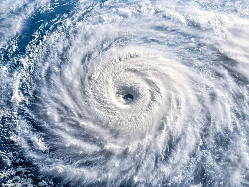
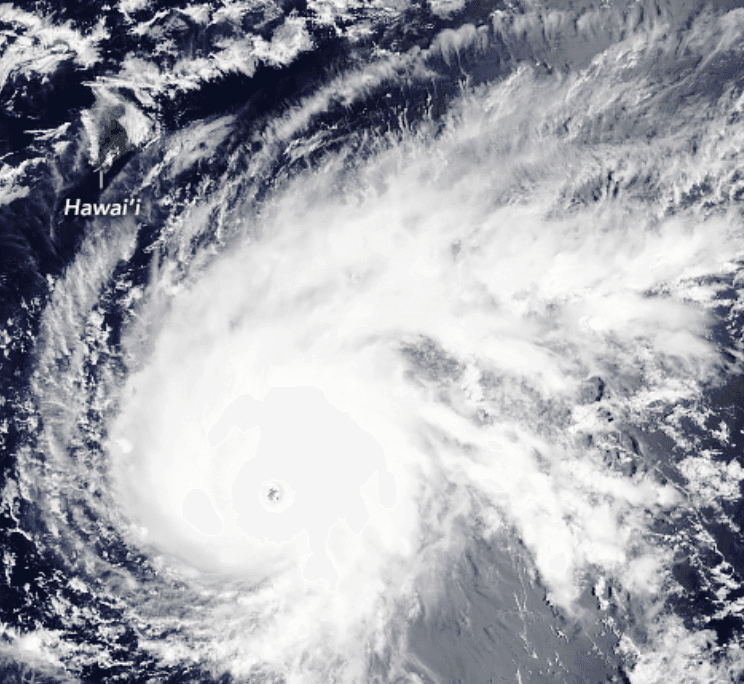
Strong model consensus and official National Hurricane Center monitoring of Central Pacific system CP93—a broad area of low pressure roughly 1,100 miles east-southeast of Hawaii—drive the 95.5% market-implied probability for tropical cyclone formation by August 14. This disturbance is generating disorganized showers and thunderstorms within an environment of favorable sea-surface temperatures and reduced wind shear, with forecasts indicating organization into a tropical depression within the next 48–96 hours. Eastern Pacific activity remains possible but secondary to this near-term Central Pacific signal during the climatologically active August window. The primary uncertainty lies in whether unexpected increases in vertical wind shear or drier mid-level air could delay organization past the cutoff, though current guidance assigns low likelihood to such outcomes.
Riepilogo sperimentale generato dall'AI con riferimento ai dati di Polymarket. Questo non è un consiglio di trading e non ha alcun ruolo nella risoluzione di questo mercato. · AggiornatoUn ciclone tropicale si formerà nei bacini del Pacifico o del Pacifico centrale entro il 14 agosto?
Un ciclone tropicale si formerà nei bacini del Pacifico o del Pacifico centrale entro il 14 agosto?
For the purposes of this market, the "Pacific" and "Central Pacific" basins are the areas covered by the NHC's "Pacific" and "Central Pacific" Tropical Weather Outlooks at https://www.nhc.noaa.gov/. As of the launch of this market, the NHC reports no active tropical cyclones in either basin.
The resolution source for this market will be the U.S. National Hurricane Center (https://www.nhc.noaa.gov/), including its tropical cyclone advisories, public advisories, and Tropical Weather Outlooks for the Pacific and Central Pacific basins.
If there is a potential tropical cyclone that has not yet been classified by August 14, 2026, 11:59 PM ET, the market may remain open until August 15, 12:00 PM ET to determine whether a classification was made prior to midnight.
Mercato aperto: Aug 7, 2026, 10:59 AM ET
Fonte di risoluzione
https://www.nhc.noaa.gov/Resolver
0x65070BE91...For the purposes of this market, the "Pacific" and "Central Pacific" basins are the areas covered by the NHC's "Pacific" and "Central Pacific" Tropical Weather Outlooks at https://www.nhc.noaa.gov/. As of the launch of this market, the NHC reports no active tropical cyclones in either basin.
The resolution source for this market will be the U.S. National Hurricane Center (https://www.nhc.noaa.gov/), including its tropical cyclone advisories, public advisories, and Tropical Weather Outlooks for the Pacific and Central Pacific basins.
If there is a potential tropical cyclone that has not yet been classified by August 14, 2026, 11:59 PM ET, the market may remain open until August 15, 12:00 PM ET to determine whether a classification was made prior to midnight.
Fonte di risoluzione
https://www.nhc.noaa.gov/Resolver
0x65070BE91...Strong model consensus and official National Hurricane Center monitoring of Central Pacific system CP93—a broad area of low pressure roughly 1,100 miles east-southeast of Hawaii—drive the 95.5% market-implied probability for tropical cyclone formation by August 14. This disturbance is generating disorganized showers and thunderstorms within an environment of favorable sea-surface temperatures and reduced wind shear, with forecasts indicating organization into a tropical depression within the next 48–96 hours. Eastern Pacific activity remains possible but secondary to this near-term Central Pacific signal during the climatologically active August window. The primary uncertainty lies in whether unexpected increases in vertical wind shear or drier mid-level air could delay organization past the cutoff, though current guidance assigns low likelihood to such outcomes.
Riepilogo sperimentale generato dall'AI con riferimento ai dati di Polymarket. Questo non è un consiglio di trading e non ha alcun ruolo nella risoluzione di questo mercato. · Aggiornato

Fai attenzione ai link esterni.
Fai attenzione ai link esterni.
Domande frequenti