
**Market-implied odds cluster around mid-to-late August because the Eastern and Central Pacific basins are entering peak activity amid an emerging El Niño, which warms sea surface temperatures above the 26–27°C threshold needed for tropical cyclone development while favoring lower wind shear and increased moisture.** Current monitoring shows Tropical Storm Hernan in the Eastern Pacific and a potential system (One-C/Lala) in the Central Pacific, with intensification to hurricane strength (Saffir-Simpson Category 1+) hinging on short-term factors like vertical wind shear, upper-level divergence, and the timing of easterly waves or monsoon trough disturbances. NOAA seasonal outlooks anticipate above-normal activity overall, yet weekly model runs exhibit typical divergence in exact formation windows and rapid intensification potential, keeping probabilities for August 17–21, 22–26, and no August hurricane nearly even at 36%, 31.5%, and 30%. Traders weigh these variables against climatological peaks in late August, with upcoming NHC forecast updates likely to shift sentiment as new observational data arrives.
Riepilogo sperimentale generato dall'AI con riferimento ai dati di Polymarket. Questo non è un consiglio di trading e non ha alcun ruolo nella risoluzione di questo mercato. · AggiornatoQuando si formerà il prossimo uragano nel Pacifico?
Quando si formerà il prossimo uragano nel Pacifico?
17 agosto - 21 agosto 2026 33%
Nessun uragano del Pacifico si formerà nell'agosto 2026 30%
13 agosto - 16 agosto 2026 24%
22 agosto - 26 agosto 2026 0
13 agosto - 16 agosto 2026
30%
17 agosto - 21 agosto 2026
33%
22 agosto - 26 agosto 2026
41%
27 agosto - 31 agosto 2026
38%
Nessun uragano del Pacifico si formerà nell'agosto 2026
30%
17 agosto - 21 agosto 2026 33%
Nessun uragano del Pacifico si formerà nell'agosto 2026 30%
13 agosto - 16 agosto 2026 24%
22 agosto - 26 agosto 2026 0
13 agosto - 16 agosto 2026
30%
17 agosto - 21 agosto 2026
33%
22 agosto - 26 agosto 2026
41%
27 agosto - 31 agosto 2026
38%
Nessun uragano del Pacifico si formerà nell'agosto 2026
30%
A tropical cyclone is considered a hurricane when it has maximum sustained winds of 74 mph or greater (Category 1 or higher on the Saffir-Simpson Hurricane Wind Scale). For this market, the "Pacific" comprises the Eastern Pacific basin and the Central Pacific basin as tracked by the NHC and CPHC. Systems classified as typhoons do not count. A system is considered to have "formed" as a hurricane at the date and time of the first NHC or CPHC public advisory that classifies a system in these basins as a hurricane. Resolution is based on that first advisory, regardless of any later downward revision or reclassification. The sole determinant of when the hurricane formed is the issuance timestamp of that first classifying advisory, not the estimated time at which the system's winds first reached 74 mph; for a system that straddles midnight between August 31 and September 1, 2026, the applicable bracket is determined solely by whether that advisory's issuance timestamp falls before or after 12:00 AM ET on September 1, 2026.
The bracket "No Pacific hurricane will form in August 2026" will resolve "Yes" if no NHC or CPHC advisory classifies any Eastern Pacific or Central Pacific system as a hurricane at any time from 12:00 AM ET on August 13, 2026 through 11:59 PM ET on August 31, 2026.
The resolution sources for this market are the U.S. National Hurricane Center (NHC), available here: https://www.nhc.noaa.gov/, and the Central Pacific Hurricane Center (CPHC), available here: https://www.nhc.noaa.gov/?cpac
Mercato aperto: Aug 12, 2026, 11:19 AM ET
Fonte di risoluzione
https://www.nhc.noaa.gov/Resolver
0x69c47De9D...A tropical cyclone is considered a hurricane when it has maximum sustained winds of 74 mph or greater (Category 1 or higher on the Saffir-Simpson Hurricane Wind Scale). For this market, the "Pacific" comprises the Eastern Pacific basin and the Central Pacific basin as tracked by the NHC and CPHC. Systems classified as typhoons do not count. A system is considered to have "formed" as a hurricane at the date and time of the first NHC or CPHC public advisory that classifies a system in these basins as a hurricane. Resolution is based on that first advisory, regardless of any later downward revision or reclassification. The sole determinant of when the hurricane formed is the issuance timestamp of that first classifying advisory, not the estimated time at which the system's winds first reached 74 mph; for a system that straddles midnight between August 31 and September 1, 2026, the applicable bracket is determined solely by whether that advisory's issuance timestamp falls before or after 12:00 AM ET on September 1, 2026.
The bracket "No Pacific hurricane will form in August 2026" will resolve "Yes" if no NHC or CPHC advisory classifies any Eastern Pacific or Central Pacific system as a hurricane at any time from 12:00 AM ET on August 13, 2026 through 11:59 PM ET on August 31, 2026.
The resolution sources for this market are the U.S. National Hurricane Center (NHC), available here: https://www.nhc.noaa.gov/, and the Central Pacific Hurricane Center (CPHC), available here: https://www.nhc.noaa.gov/?cpac
Fonte di risoluzione
https://www.nhc.noaa.gov/Resolver
0x69c47De9D...**Market-implied odds cluster around mid-to-late August because the Eastern and Central Pacific basins are entering peak activity amid an emerging El Niño, which warms sea surface temperatures above the 26–27°C threshold needed for tropical cyclone development while favoring lower wind shear and increased moisture.** Current monitoring shows Tropical Storm Hernan in the Eastern Pacific and a potential system (One-C/Lala) in the Central Pacific, with intensification to hurricane strength (Saffir-Simpson Category 1+) hinging on short-term factors like vertical wind shear, upper-level divergence, and the timing of easterly waves or monsoon trough disturbances. NOAA seasonal outlooks anticipate above-normal activity overall, yet weekly model runs exhibit typical divergence in exact formation windows and rapid intensification potential, keeping probabilities for August 17–21, 22–26, and no August hurricane nearly even at 36%, 31.5%, and 30%. Traders weigh these variables against climatological peaks in late August, with upcoming NHC forecast updates likely to shift sentiment as new observational data arrives.
Riepilogo sperimentale generato dall'AI con riferimento ai dati di Polymarket. Questo non è un consiglio di trading e non ha alcun ruolo nella risoluzione di questo mercato. · Aggiornato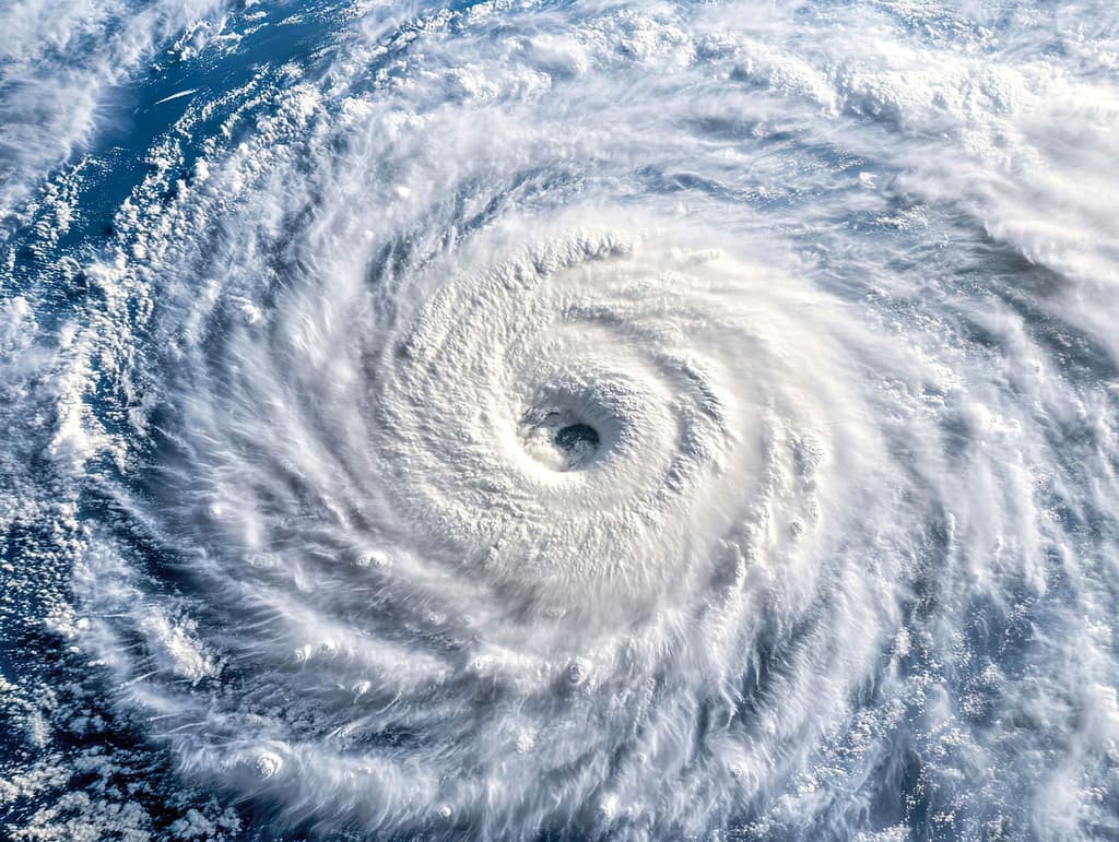
Fai attenzione ai link esterni.
Fai attenzione ai link esterni.
Domande frequenti