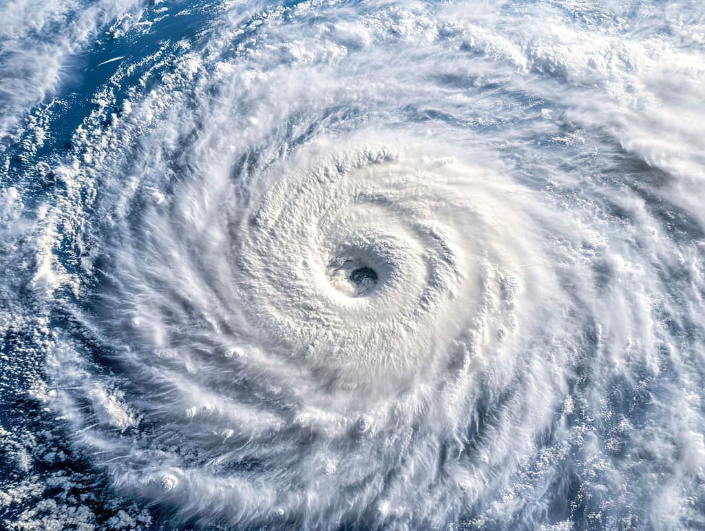
Recent official National Hurricane Center outlooks highlight a tropical wave in the Central Pacific roughly 1,000 miles east-southeast of Hawaii, currently producing disorganized showers and thunderstorms amid favorable sea-surface temperatures and reduced wind shear typical of mid-August peak season. This disturbance carries a high 90% formation probability within seven days, positioning it as the dominant driver behind the 95% market-implied odds for a tropical cyclone by August 14. Earlier activity, including Hurricane Genevieve’s rapid intensification and decay in late July, underscores the basin’s climatological tendency for quick development once waves emerge. While model consensus supports organization, realistic barriers include unexpected increases in shear or dry air entrainment that could delay or prevent genesis within the narrow three-day window.
Polymarketデータを参照したAI生成の実験的な要約。これは取引アドバイスではなく、このマーケットの解決方法には一切関係ありません。 · 更新日8月14日までに太平洋盆地または中央太平洋盆地のいずれかで熱帯低気圧が形成されますか?
8月14日までに太平洋盆地または中央太平洋盆地のいずれかで熱帯低気圧が形成されますか?
For the purposes of this market, the "Pacific" and "Central Pacific" basins are the areas covered by the NHC's "Pacific" and "Central Pacific" Tropical Weather Outlooks at https://www.nhc.noaa.gov/. As of the launch of this market, the NHC reports no active tropical cyclones in either basin.
The resolution source for this market will be the U.S. National Hurricane Center (https://www.nhc.noaa.gov/), including its tropical cyclone advisories, public advisories, and Tropical Weather Outlooks for the Pacific and Central Pacific basins.
If there is a potential tropical cyclone that has not yet been classified by August 14, 2026, 11:59 PM ET, the market may remain open until August 15, 12:00 PM ET to determine whether a classification was made prior to midnight.
マーケット開始日: Aug 7, 2026, 10:59 AM ET
Resolver
0x65070BE91...For the purposes of this market, the "Pacific" and "Central Pacific" basins are the areas covered by the NHC's "Pacific" and "Central Pacific" Tropical Weather Outlooks at https://www.nhc.noaa.gov/. As of the launch of this market, the NHC reports no active tropical cyclones in either basin.
The resolution source for this market will be the U.S. National Hurricane Center (https://www.nhc.noaa.gov/), including its tropical cyclone advisories, public advisories, and Tropical Weather Outlooks for the Pacific and Central Pacific basins.
If there is a potential tropical cyclone that has not yet been classified by August 14, 2026, 11:59 PM ET, the market may remain open until August 15, 12:00 PM ET to determine whether a classification was made prior to midnight.
Resolver
0x65070BE91...Recent official National Hurricane Center outlooks highlight a tropical wave in the Central Pacific roughly 1,000 miles east-southeast of Hawaii, currently producing disorganized showers and thunderstorms amid favorable sea-surface temperatures and reduced wind shear typical of mid-August peak season. This disturbance carries a high 90% formation probability within seven days, positioning it as the dominant driver behind the 95% market-implied odds for a tropical cyclone by August 14. Earlier activity, including Hurricane Genevieve’s rapid intensification and decay in late July, underscores the basin’s climatological tendency for quick development once waves emerge. While model consensus supports organization, realistic barriers include unexpected increases in shear or dry air entrainment that could delay or prevent genesis within the narrow three-day window.
Polymarketデータを参照したAI生成の実験的な要約。これは取引アドバイスではなく、このマーケットの解決方法には一切関係ありません。 · 更新日


外部リンクに注意してください。
外部リンクに注意してください。
よくある質問